


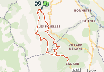

11.8 km | 19.7 km-effort

User


FREE GPS app for hiking
 SityTrail
IGN / Geographical institutes
SityTrail World
The world is yours!
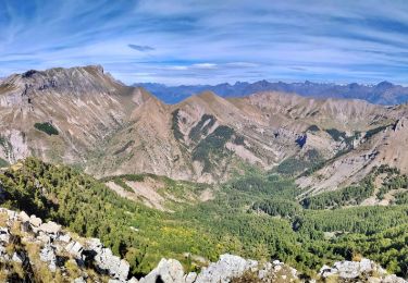
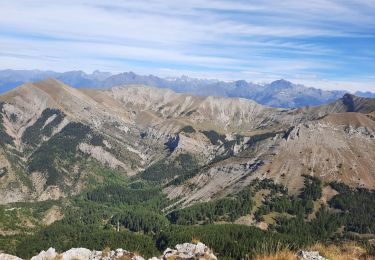
Trail Walking of 9.1 km to be discovered at Provence-Alpes-Côte d'Azur, Hautes-Alpes, La Fare-en-Champsaur. This trail is proposed by sereton.
Sentier en balcon


Walking

Walking

Walking
Walking

Walking
On foot
Walking
Walking
Walking
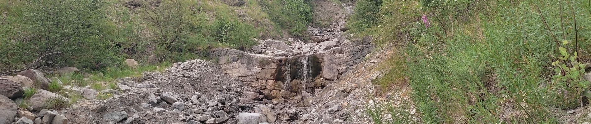
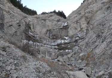
très belle randonnée sous les ombrages des hêtres et des mélèzes